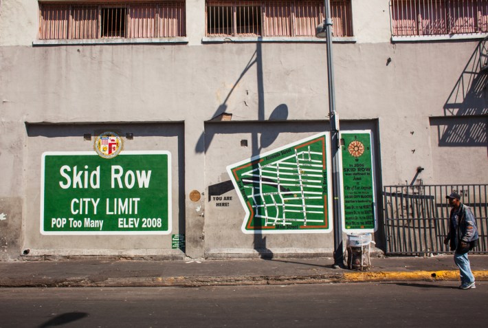
Update on the Skid Row mural we posted about earlier this year...
The name "Skid Row" is known to everyone in Los Angeles, but it does not appear on ANY official City of los Angeles map, street sign, or city documents. Earlier this year, Fire Station 9, which serves the area and is known as “the busiest fire station in the United States” was ordered to remove any Skid Row designations from their 5 fire trucks. In response they created a web-site and petition to restore the name to their vehicles: http://www.firestation9skidrow.org/help.html
The city prefers the name Central City East and would possibly like to pretend Skid Row, and what it represents, doesn't really exist. Anyone who actually lives Downtown know it as Skid Row and knows where its basic borders lie.
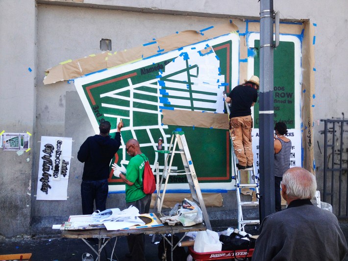
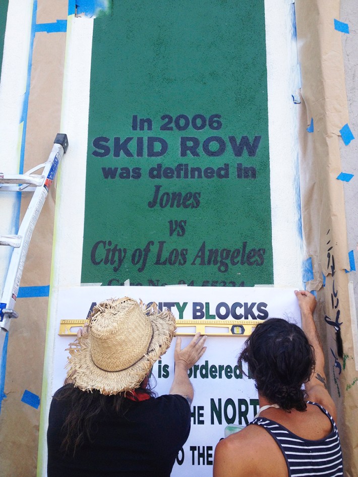
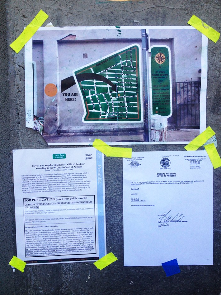
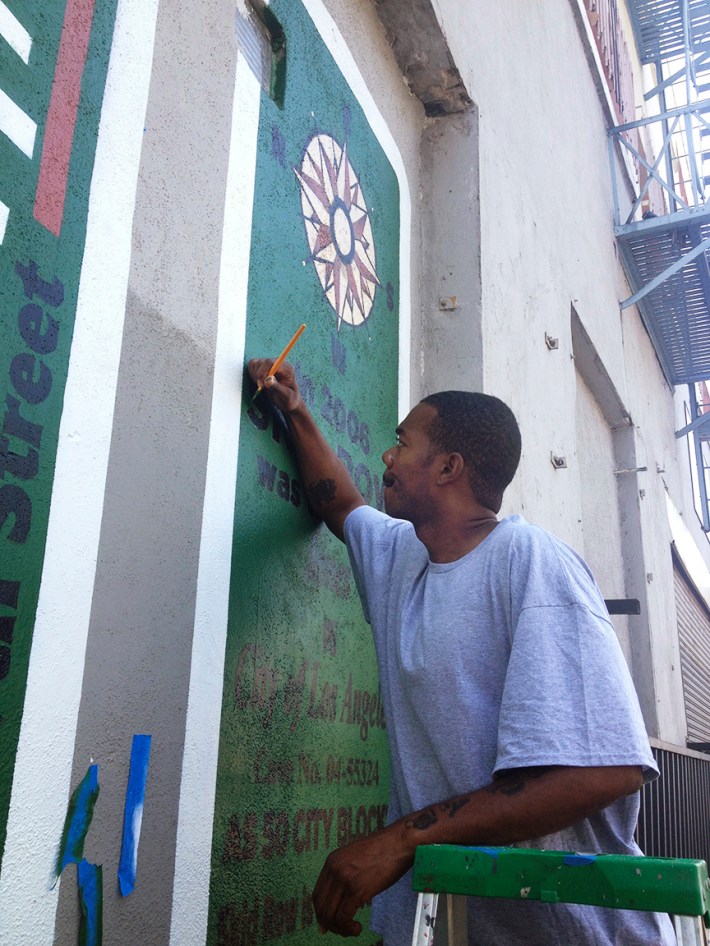
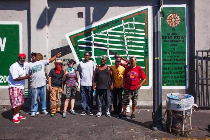
Defining Skid Row is thus a challenge and an opportunity to those who live there or nearby. In 2006 a court case known as Jones Vs. the City of Los Angeles (case No. 04-55324) the borders of Skid Row were defined as Main St to the West, Alameda St. to the east, Third St to the North, and Seventh St to the South.
http://caselaw.findlaw.com/us-9th-circuit/1490887.html
http://www.ecases.us/case/ca9/1385118/jones-v-city-of-los-angeles
http://www.law.harvard.edu/students/orgs/crcl/vol42_1/gerry.pdf
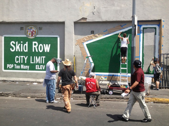
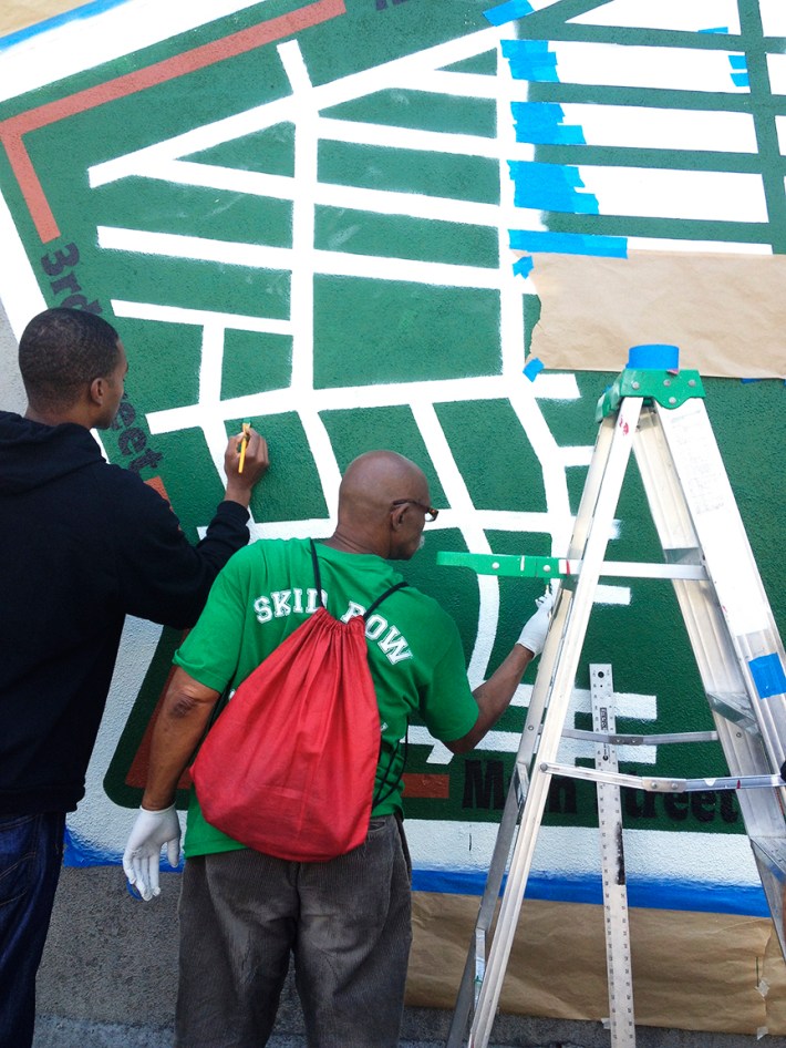
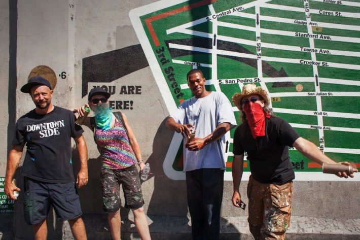
In February of this year Skid Row activist General Jeff Page (http://mayorofskidrow.wordpress.com ) enlisted local street art crew Winston Death Squad (most of whom live within the defined borders of Skid Row) to work with him and other Skid Row artists and residents to create the iconic Skid Row City Limits mural on San Julian St in the heart of Skid Row.
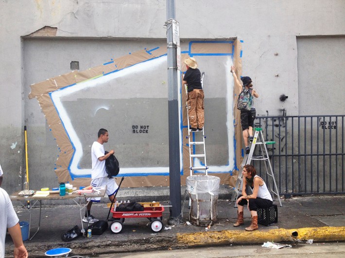
This July the same people returned to add “The Official Skid Row Map” in the panel next to the original piece. One of the artists involved, Steven Ziegler, sent us some images of the finished mural and its creation, which you can see below.

