


This article was originally published on Boyle Heights Beat.
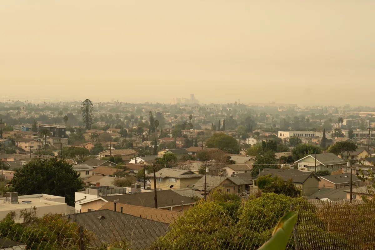
More than 40,000 acres have burned in wildfires across Los Angeles County, and air quality indexes have reached a high of 400 to 500 in communities near fire areas.
So what does that mean for Eastside residents, many who are already exposed to high rates of air pollution?
Before the wildfires broke out last Tuesday, the Boyle Heights zip code ‘90033’ had received an ‘F’ grade when it came to ozone and particle pollution, according to the American Lung Association.
Historically, air pollution levels on and near L.A.’s Eastside have been disproportionately high compared to the western parts of the city and county, according to a UT Community News analysis of state data. Diesel emissions and fine particulate inhalable matter (PM 2.5) are 8% in this area of the city, the analysis showed.