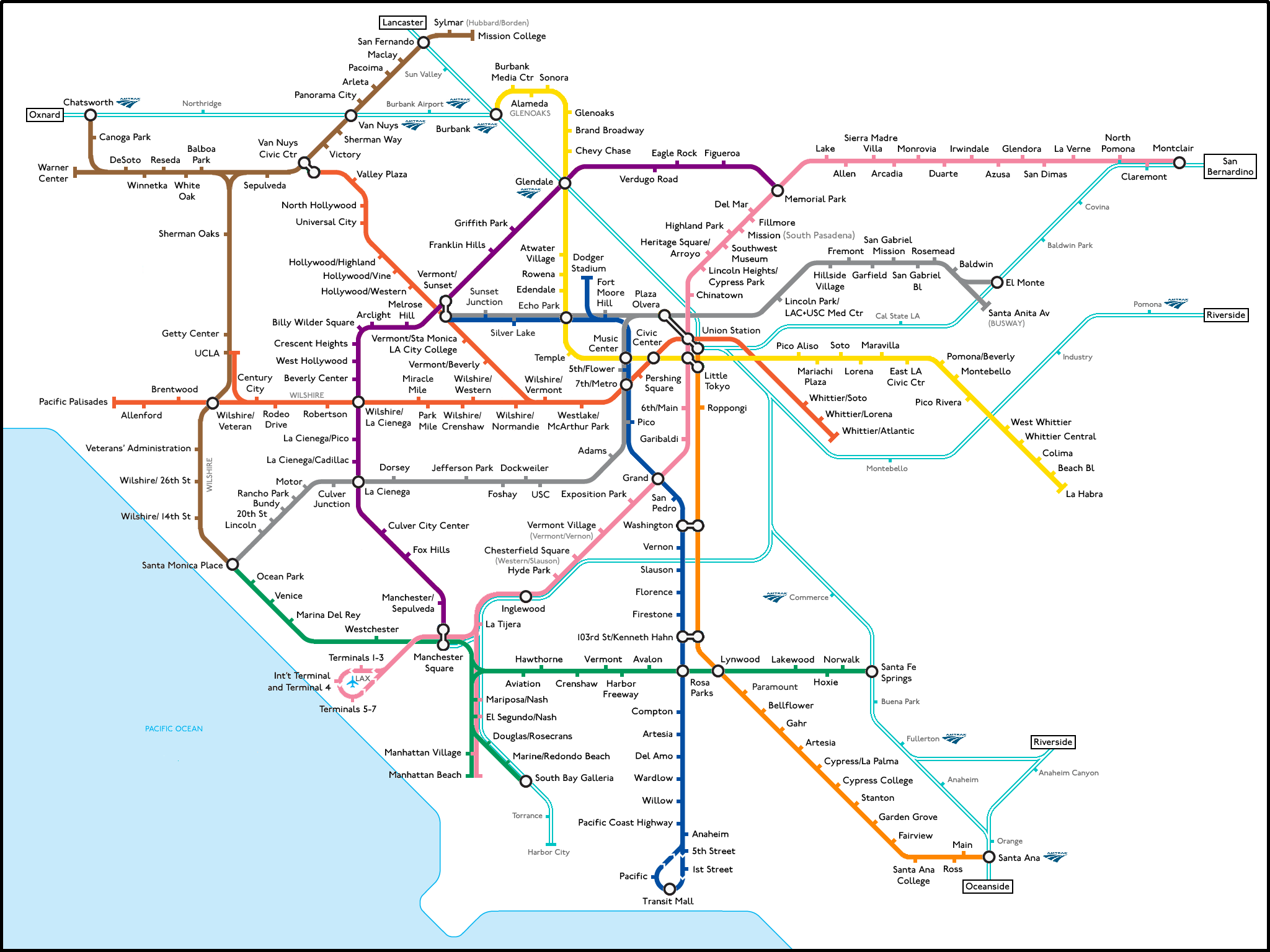
Imagine if every line on this concept map by Numan Parada were real. Subways and light rail connecting the entire city, even the outskirts, with hubs all over. Imagine... it's easy if you try. Click on the image to see the full map. There are more concept maps on the Transit Coalition website. Do you know of other maps like this one? Please add a link in the comments.
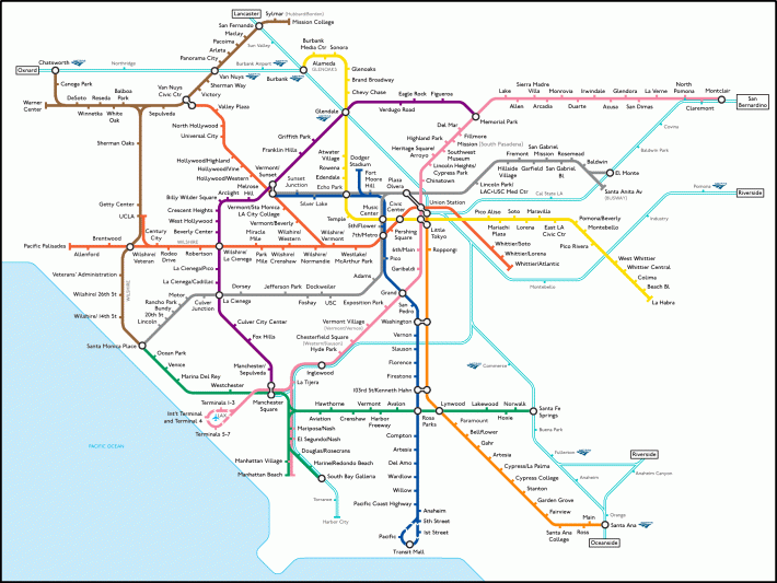
Here's a new fantasy map, which shows the best case scenario for mass transit in Los Angeles in the year 2040:
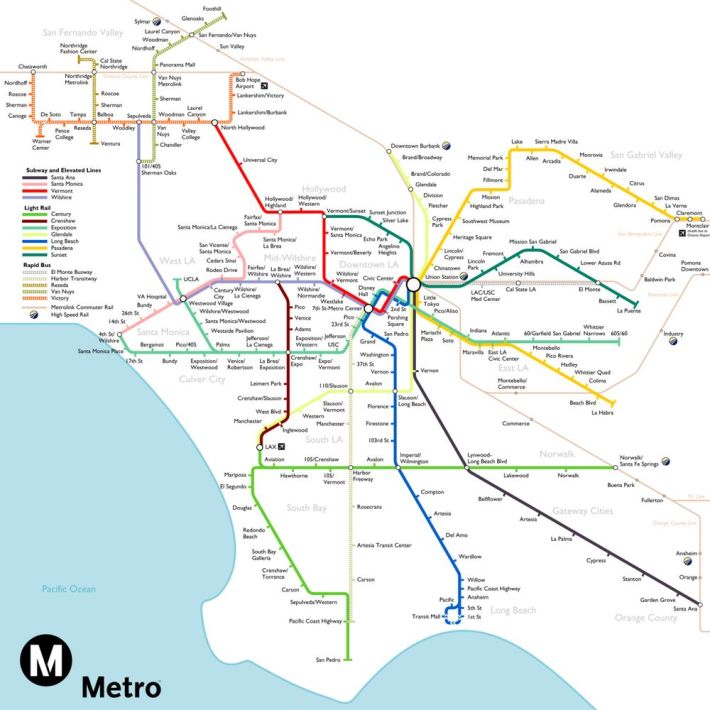
This one is by Jake Berman.
