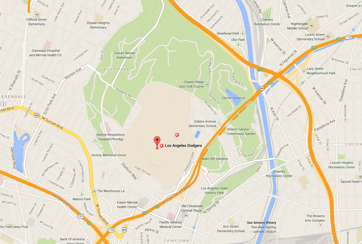


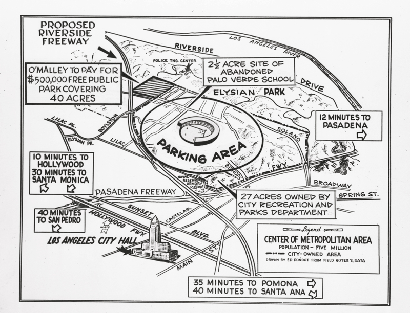
USC recently released this map from the Doheny Library. It's from the original proposal for Dodger Stadium, and contains some interesting period details, such as the proposed "Riverside Freeway" south of the stadium, which is what the 5 Freeway is now except north of the stadium. First spotted at TrueBlueLA.com, which has a bunch of other cool details. Below, see a contemporary map of roughly the same area.