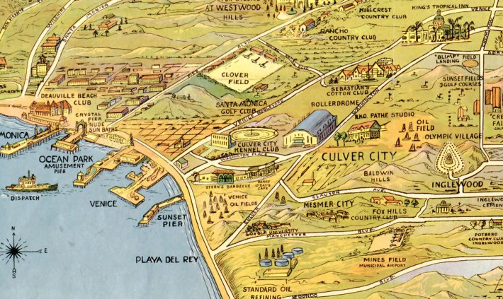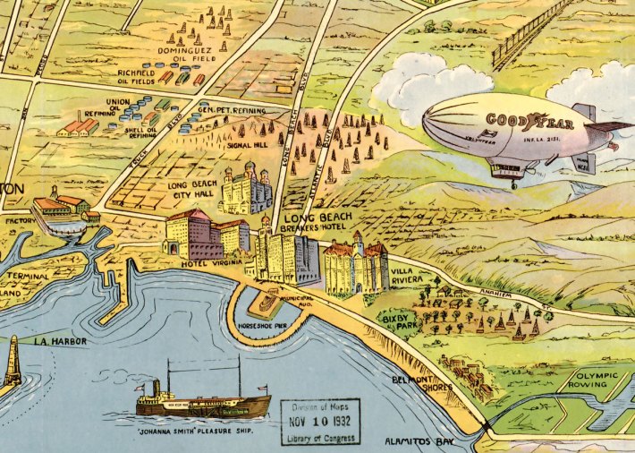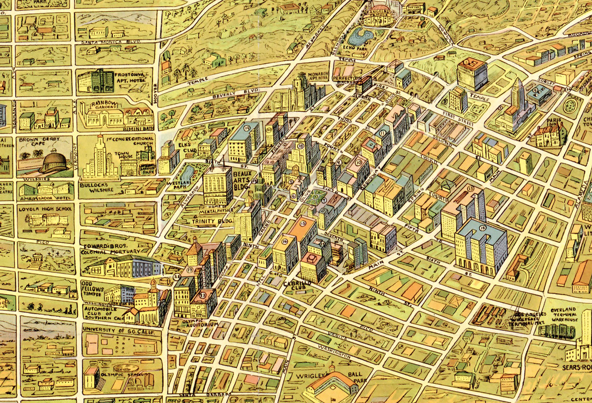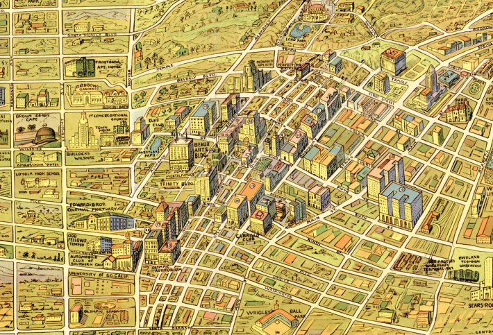
The images above and below are from a 1930's map for children, via the wonderful Big Map Blog. It gives some nice insights into the major sights and marvels of "the wonder city" according to graphic artist, K M Leuschner in 1932. Heavy on country clubs, luxury hotels, school and institutions, this map seems to be a Hancock Park centric view of upper middle class landmarks of early 30's LA. More info is definitely needed about the "nude sun baths" of Santa Monica.
You can explore the entire map, plus download it as JPG here: Big Map Blog 1932 Map of Los Angeles
